03°04'S 37°21'E
Kilimanjaro National Park
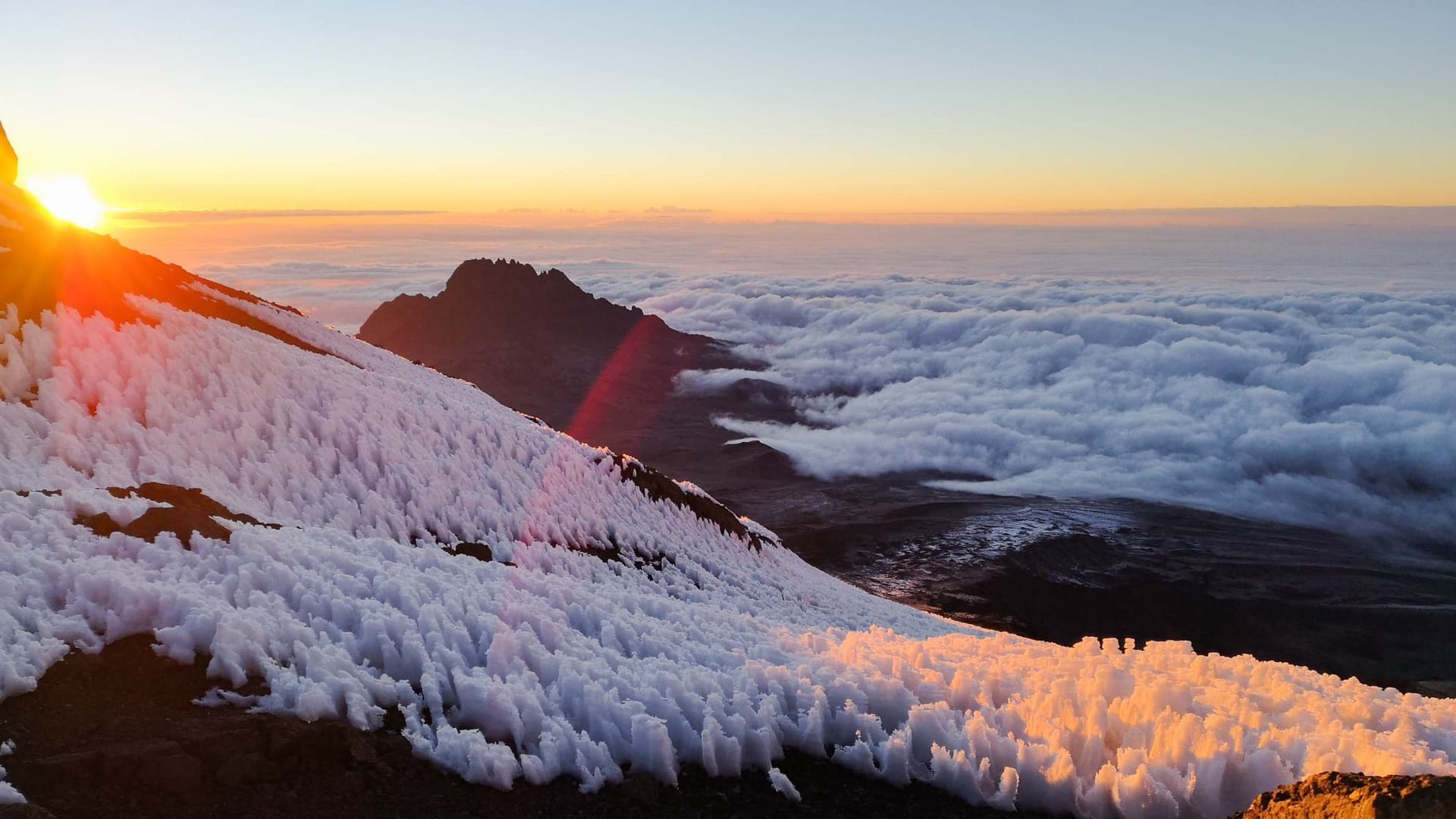
The mountain itself — 5,895 metres of rainforest, moorland, desert and the last glaciers.
AREA1,688 KM²
ELEVATION1,640–5,895 M
BEST TIMETrekking June–October and December–March
COORDINATES03°04'S 37°21'E
THE FIELD NOTE
Kilimanjaro is technically a walk — no ropes, no crampons by the standard routes — and technically the hardest thing many guests will ever do. The park's five vegetation zones stack a continent's worth of altitude into one massif: rainforest, heather, moorland, alpine desert, and the arctic summit ridge with its vanishing glaciers. Our approach is in the name: quiet routes, long profiles, senior guides. The mountain does the rest.
WHO LIVES HERE
Colobus & blue monkeysBushbuckKlipspringerWhite-necked ravenMole-ratFour-striped grass mouse
WHAT YOU DO HERE
- —Six routes from rainforest to Uhuru Peak — see our route pages
- —Day hikes to Shira plateau and Mandara Hut
- —Horombo Huts overnighters for the high-altitude curious
- —Summit celebrations with certificates and gold for 5,895 m
POSTCARDS
The place in pictures.
Press any photo to open it full-screen.
NEARBY COUNTRY